Aigaleo, Greece

The municipality in the western part of the Athens metropolitan area focuses on making its urban environment more resilient to heatwaves and floods.
Aigaleo

Image from Dreamstime licensed under Dreamstime / Info228262

Key Numbers

~ 66 000

Inhabitants

10 200

residents per km²

It lies along the historic Iera Odos (Sacred Road) and takes its name from Mount Aigaleo, bordering Athens, Peristeri, Chaidari, Agia Varvara, Nikaia-Agios Ioannis Rentis, and Moschato-Tavros. The Kifissos River crosses the area - mostly covered today by the Patras-Athens-Thessaloniki Highway - while major transport arteries such as Kifissou, Athinon, Thivon, Petrou Ralli, and Iera Odos make it one of the most accessible municipalities in Attica. Aigaleo is also served by two Metro stations, Elaionas and Aigaleo, linking it directly to central Athens.

With a population of just under 66,000, Aigaleo has an exceptionally high density of about 10,200 residents per km², far exceeding the Attica average. Once an industrial hub, it remains largely urban and mixed-use, combining residential, commercial, and service sectors, while the nearby Eleonas area retains industrial and logistics functions. The municipality hosts two campuses of the University of Western Attica and supports innovation through local business and social hubs.

Green spaces are limited but significant, notably the Aigaleo Grove (Baroutadiko Park) - the largest park in Western Athens and a vital ecological and recreational area. Socially, Aigaleo has layers of vulnerability linked to population ageing, low-income groups, and long-established migrant and refugee communities. Despite recent population decline, its strategic location, connectivity, and educational institutions make Aigaleo a key urban centre for Western Athens and an important testing ground for sustainable urban resilience.
Extreme heat and heatwaves are the most significant threats. The record-breaking 2021 heatwave in Athens brought several consecutive days above 40 °C, with unusually high night-time temperatures due to the urban heat island effect. This prolonged heat severely impacted public health, especially among elderly and low-income populations, and led to increased energy demand for cooling in poorly insulated buildings. Combined with wildfire smoke from nearby regions, air quality reached hazardous levels, further exacerbating respiratory and cardiovascular risks.

Flash floods and heavy rainfall also pose recurring dangers, with a high risk of overwhelming drainage and road systems, disrupting transport, and damaging infrastructure. These events are becoming more frequent as rainfall patterns grow more erratic, with studies noting a rise in severe precipitation events across the Athens basin between 2010 and 2023.

Periods of drought and water stress are also expected to intensify, amplifying existing vulnerabilities linked to heat, limited green space, and high population density. Urban vegetation and small parks, including Aigaleo Grove, are increasingly exposed to heat, drought, and fire risk, reducing their cooling and ecological function.

Together, these overlapping hazards - heat, floods, droughts, and air pollution - underscore Aigaleo’s need for integrated climate adaptation, improved urban cooling, and resilient infrastructure planning to protect public health and urban liveability.

Central to its strategy is the deployment of nature-based solutions (NBS) and urban planning interventions to cool the urban environment and mitigate heat stress, strengthen flood resilience, enhance stormwater absorption, and improve biodiversity in highly built-up areas. 

Aigaleo will build on learnings from Rome to focus on making the health, infrastructure, and urban planning sectors more resilient to floods and heat waves. A key initiative involves leveraging the Climate Innovation Hub (CIH) as a catalyst for local innovation, entrepreneurship, and climate resilience awareness, while fostering private sector involvement in climate-resilient solutions. Moreover, the city is enhancing data-driven governance, leveraging digital monitoring tools, early warning systems, and spatial planning instruments to inform decision-making. 

Aigaleo has been actively implementing climate resilience initiatives that combine technological innovation, public engagement, and nature-based solutions, and combines green and grey infrastructure measures. Building on its experience from other EU-funded projects, Aigaleo seeks to embed climate resilience into municipal operations and urban development policies, while generating scalable models that can be replicated in other Mediterranean urban contexts.

Connected Partners

A visual of Demokritos in blue
Logo

Timeline

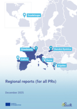
D1.1 Regional Reports

#Project Deliverable, #Report

This file is currently being reviewed by the European Commission.

This document provides the foundational territorial knowledge base that underpins the an...

Read more

SystR consortium in Guadeloupe

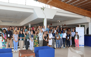
In December 2025, the SystR partnership met in Guadeloupe for its second consortium meeting.

See more on LinkedIn

SystR consortium

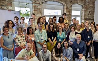
In June of 2025, the entire SystR partnership met for the first time to launch four years of work on systemic resilience. 

See more on LinkedIn